
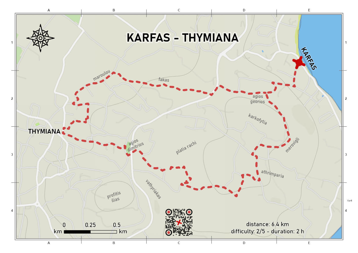
KARFAS - THYMIANA ROUTE
difficulty 2/5
distance 6.4 km
ascent 229 m
descent 229 m
duration 02:00
lollipop
The Karfas – Thymiana route is part of the thematic “network of stone craftsmen’s hiking trails”, which extends across the wider area between the coastal settlements and the community of Thymiana. It unfolds in a landscape of gentle slopes and agro-forestry character, where human activity has left a strong imprint, especially through the long-standing tradition of quarrying, carving, and building with the distinctive Thymiana stone.
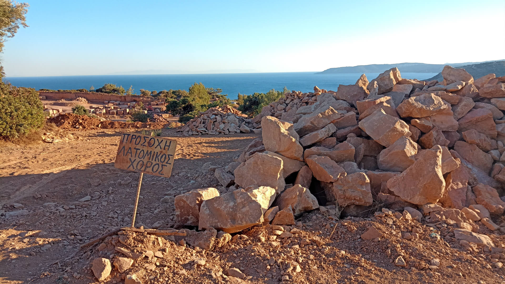
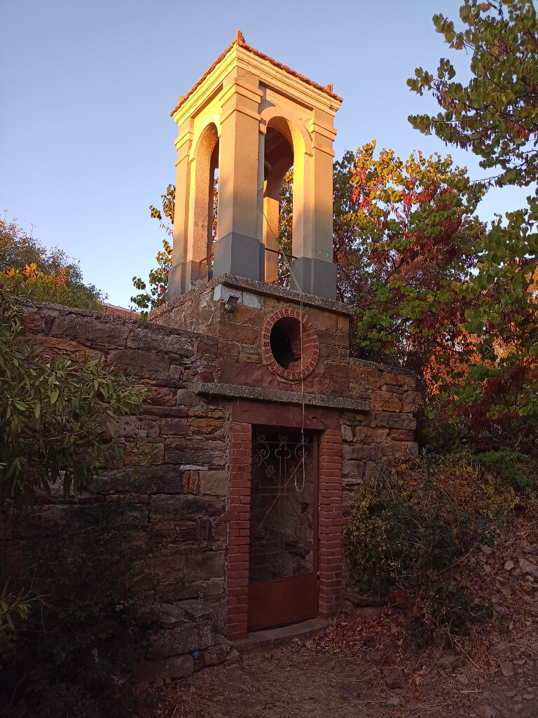
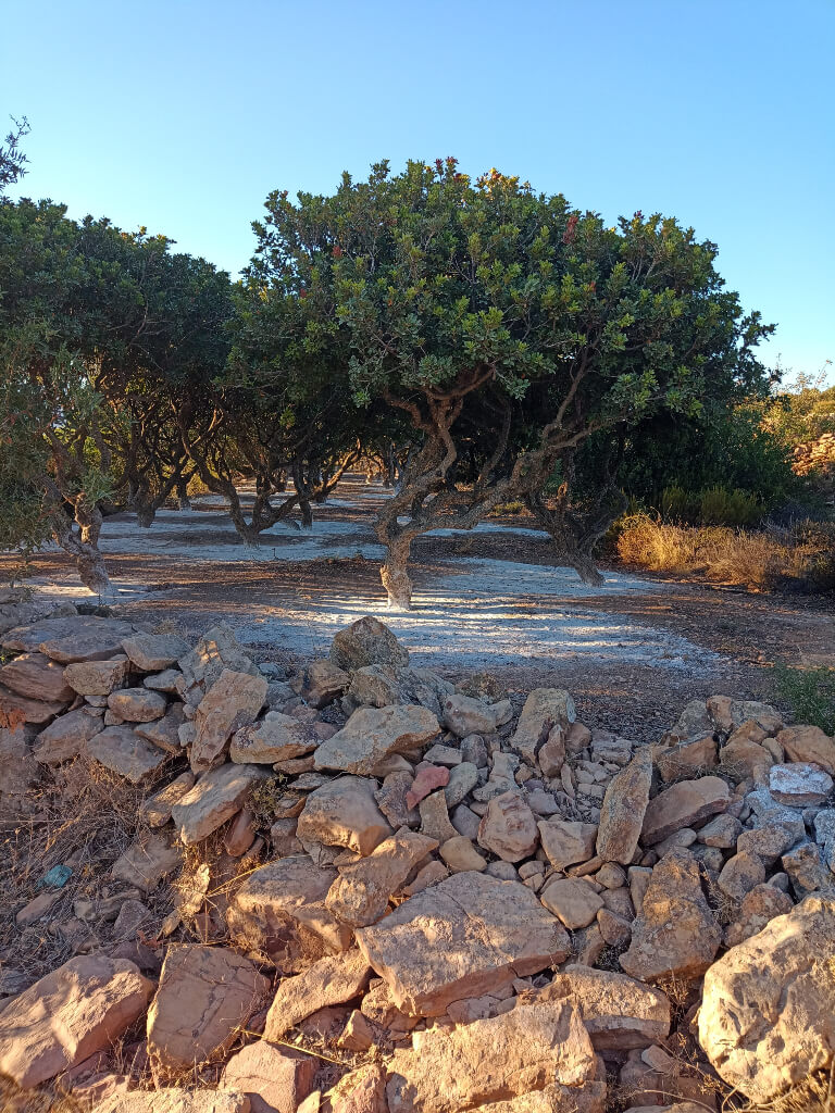
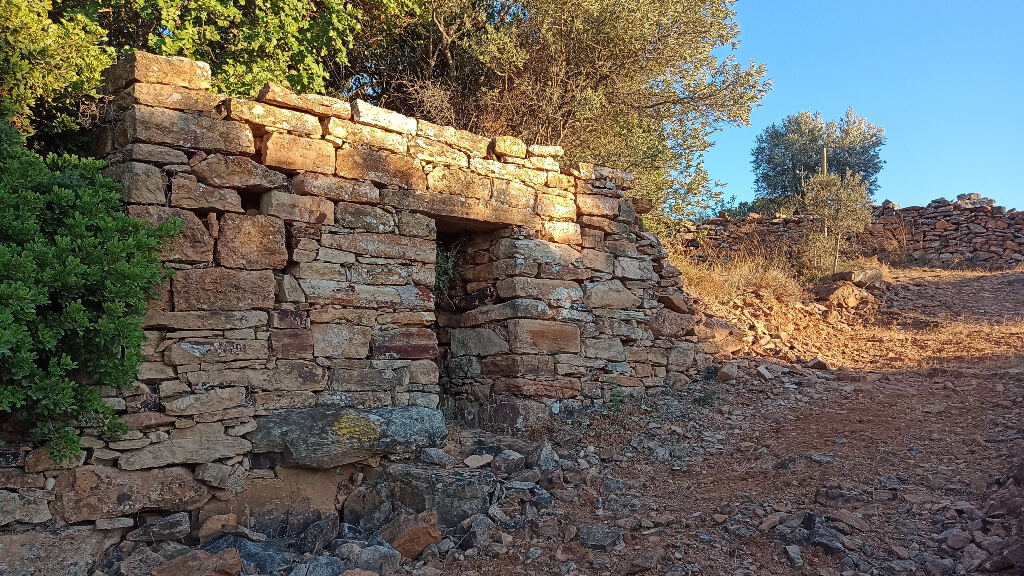
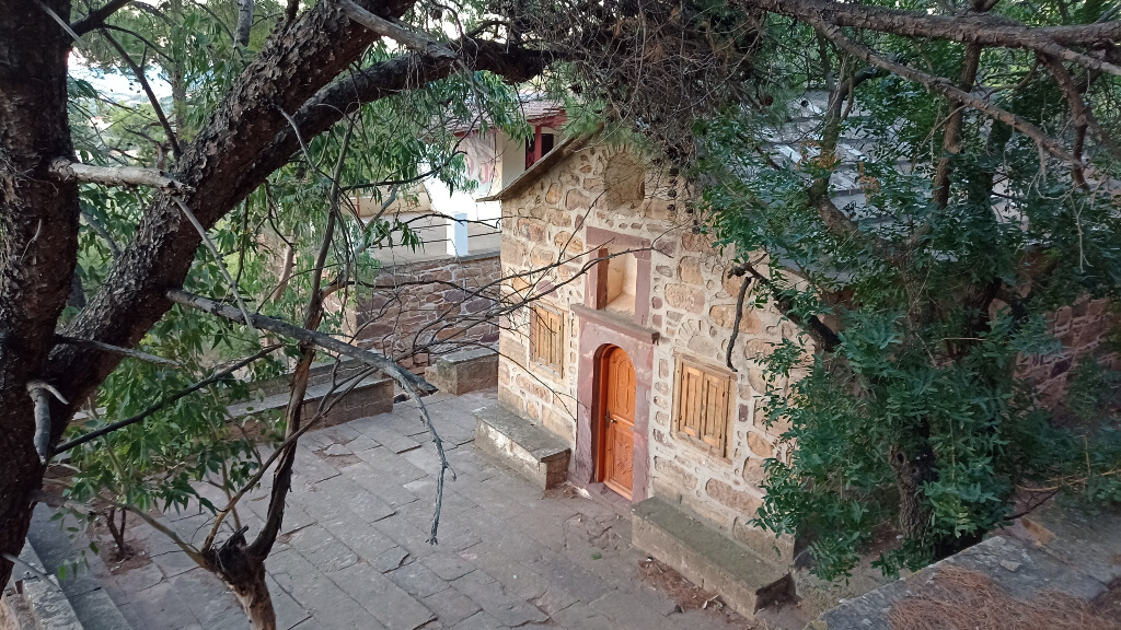
The route starts at Agios Georgios Kalfadon, a small yet symbolic chapel associated with the farriers’ guild. From there, it initially follows dirt and paved roads, passing through cultivated land with mastic trees and alongside dry-stone terraces. Along this section, there are open views towards Karfas, while the presence of a modern quarry highlights the area’s enduring relationship with stone.
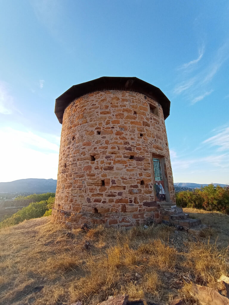
Further on, the route becomes more natural, following footpaths and rural passages that lead to the ring road and then to Karouli square, at the heart of Thymiana. From there, it passes by the Smyrnioudis (Spourgitis) windmill and continues towards the area of Maroulou, where a well-preserved stone-paved section is preserved among citrus groves, near the small chapel of Agios Tryfon Agelaston.
In its final section, the route follows a path through a pine-covered area, passing by Agios Ioannis Fakas and reaching the ring road once again. From there, it continues through a zone of cultivated fields and scattered houses, eventually returning to the starting point, forming a circular route that brings together the natural landscape, local history, and traditional stone craftsmanship.
Last update April 5, 2026
NEED SOME HELP?
Download the route track to your phone in GPX or KML format, grab the static map in PDF,
gather your company, and set off for Karfas.



⚠︎ THE INFORMATION REFLECTS THE CONDITION OF THE ROUTES AT THE TIME THEY WERE RECORDED ⚠︎
However, trails are dynamic and may change over time. If you notice anything that you believe needs correction or updating, please write to us using the contact form. In the subject line of your message, include the name of the route, and in the body, describe the issue you would like us to take into account. Your help is greatly appreciated in keeping trail information accurate and up to date.