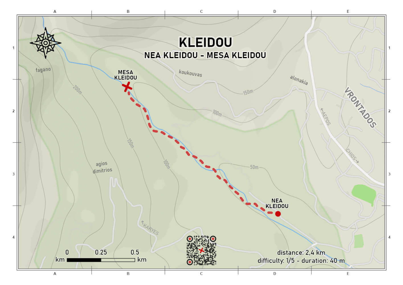
Kleidou trail
difficulty 1/5
distance 2.4 km
ascent 58 m
descent 58 m
duration 0:40
out and back
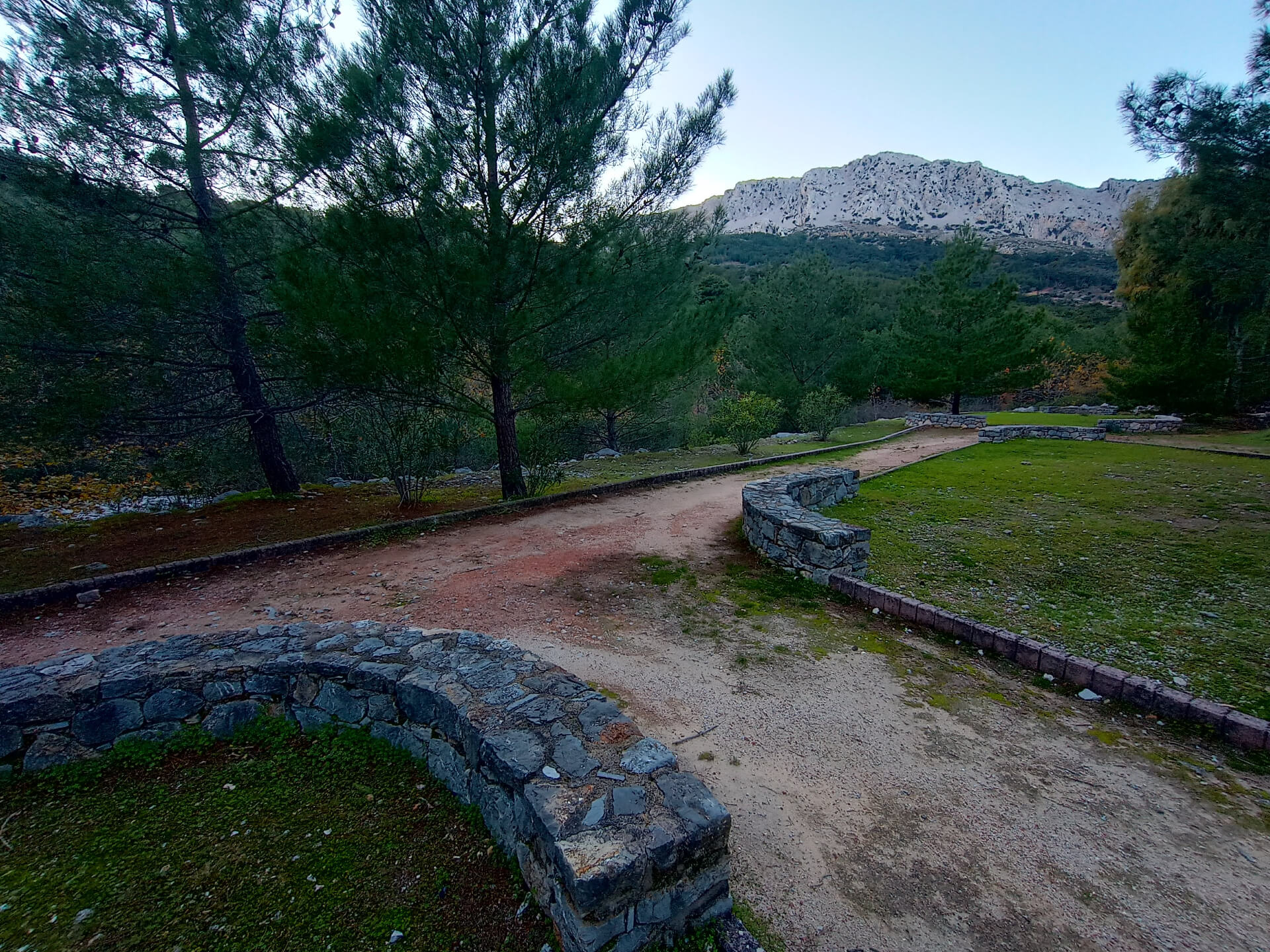
An easy and relaxing hiking route runs alongside the Armenis (or Kolyndrou) stream, within the agroforestry landscape of the water-abundant area of Kleidou. The trail starts from the parking area of Nea Kleidou and heads toward Fagano, where the mountains of Piganias and Aepos “meet.”
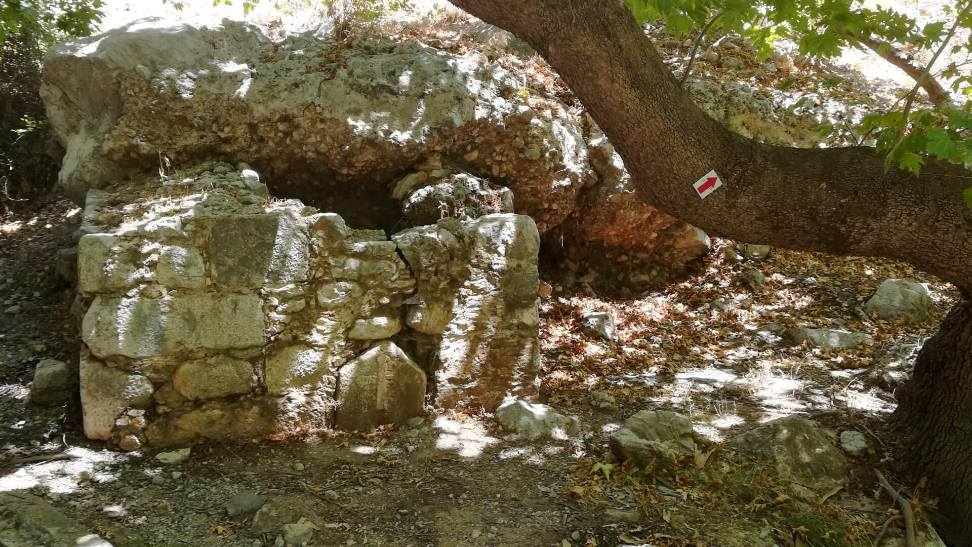
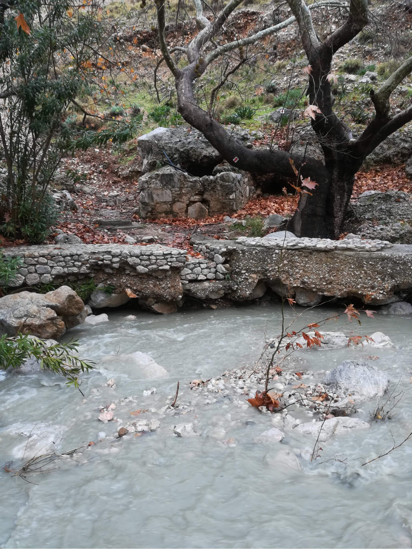
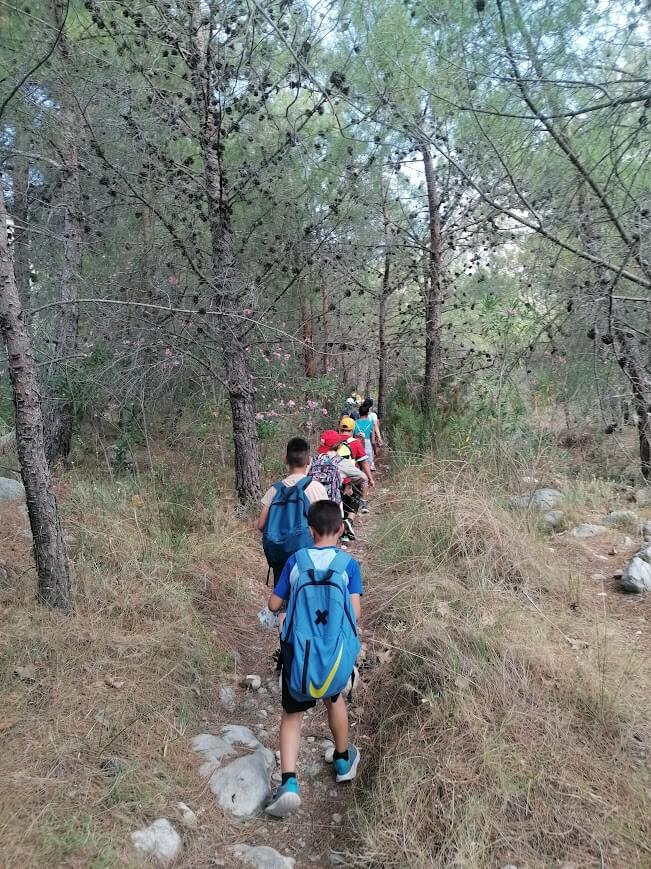
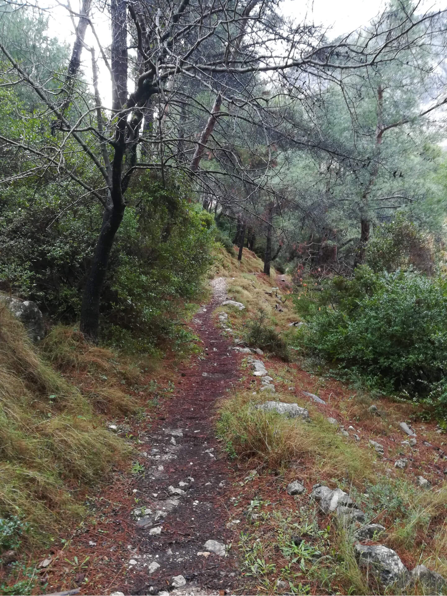
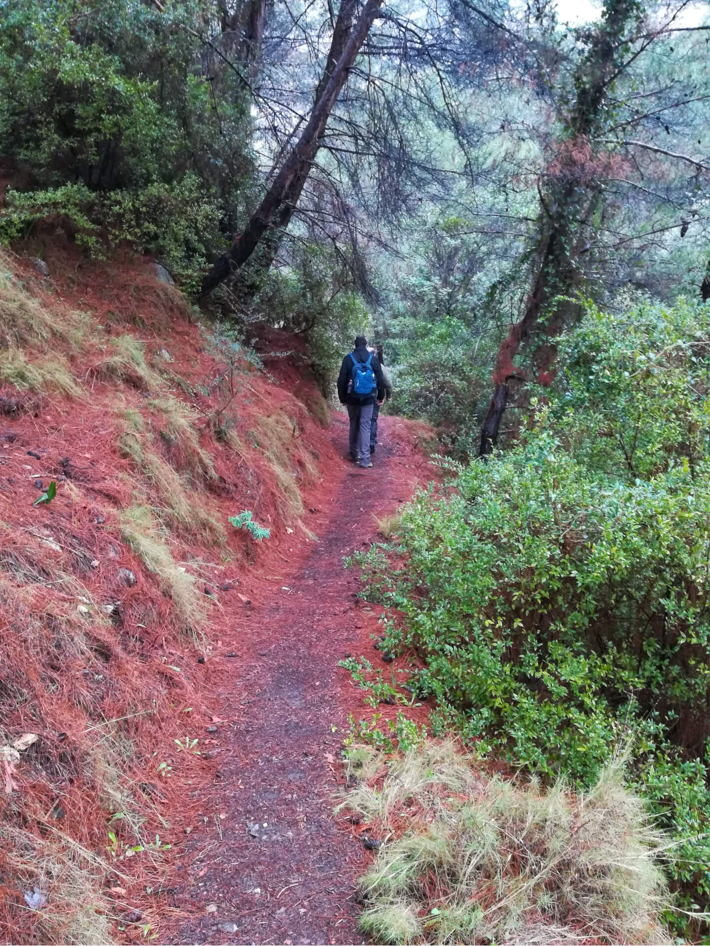
Initially, the route passes behind the facilities of the Centre for Environmental Education and Sustainability of Omiropouli, and then continues either alongside olive groves or through pine forest, always maintaining contact with the streambed, where plane trees, oleanders, and myrtles dominate the vegetation. At its endpoint, in Mesa Kleidou, a stone-built structure survives as a remnant of the old aqueduct; unfortunately, there is currently no fountain with drinking water for walkers.
The route is accessible along almost its entire length. Only at the four points where it crosses the stream and at one point where it runs adjacent to it is a little caution required—especially during the winter period, when running or standing water may be present.
This is a charming route in the heart of Kleidou, the “national park” of Vrontados. The trail does not impress with spectacular features; rather, it wins over the walker with its understated beauty, rich biodiversity, and the authenticity of its agroforestry landscape, offering a peaceful experience of connection with the land and the history of the place.
Last update February 26, 2025
NEED SOME HELP?
Download the route track to your phone in GPX or KML format, grab the static map in PDF,
gather your company, and set off for Kleidou.


⚠︎ THE INFORMATION REFLECTS THE CONDITION OF THE ROUTES AT THE TIME THEY WERE RECORDED ⚠︎
However, trails are dynamic and may change over time. If you notice anything that you believe needs correction or updating, please write to us using the contact form. In the subject line of your message, include the name of the route, and in the body, describe the issue you would like us to take into account. Your help is greatly appreciated in keeping trail information accurate and up to date.