
NEA MONI - AGIOI PATERES
difficulty 2/5
ascent 324 m
descent 324 m
distance 5.6 km
duration 2h
circular
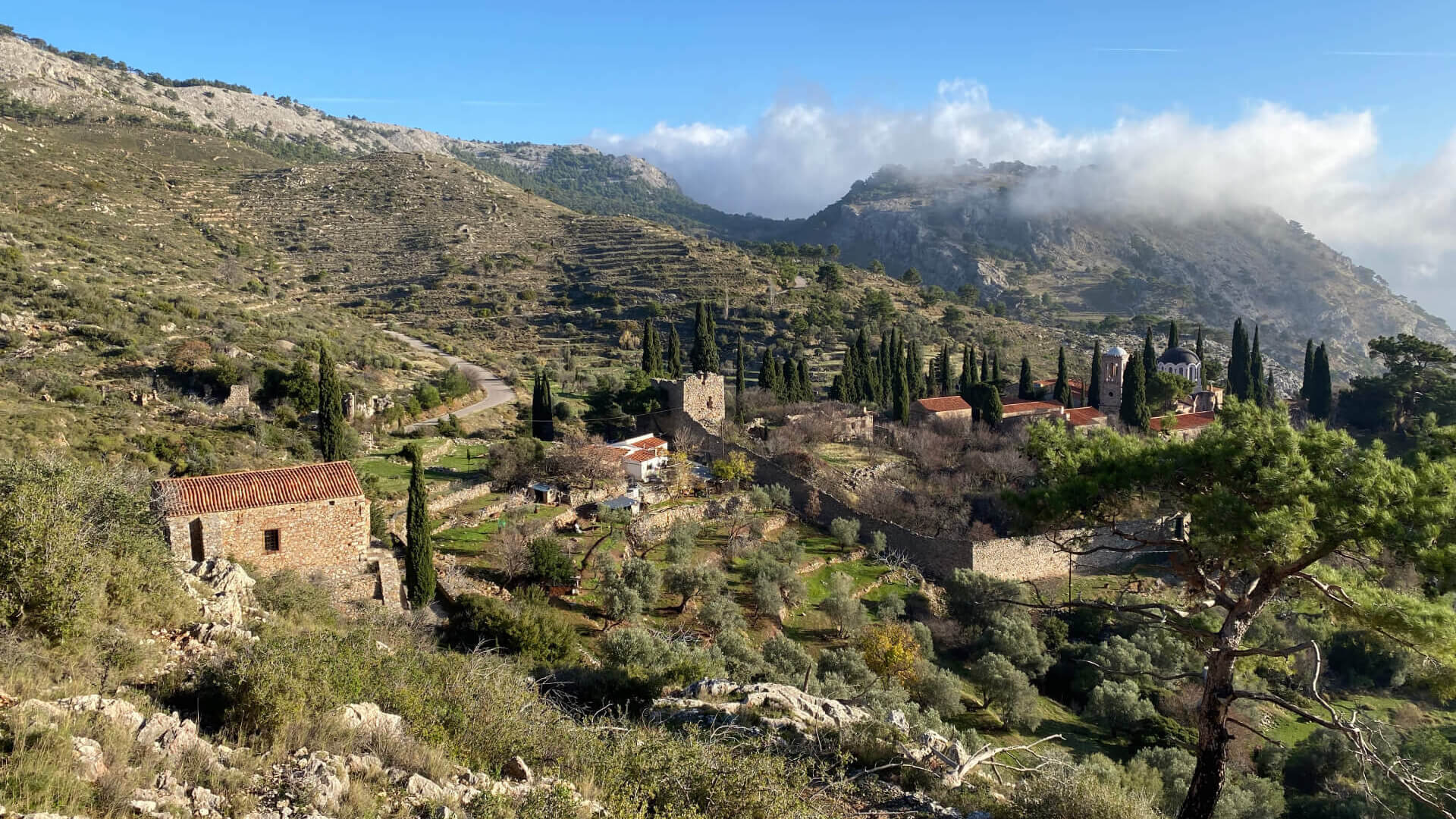
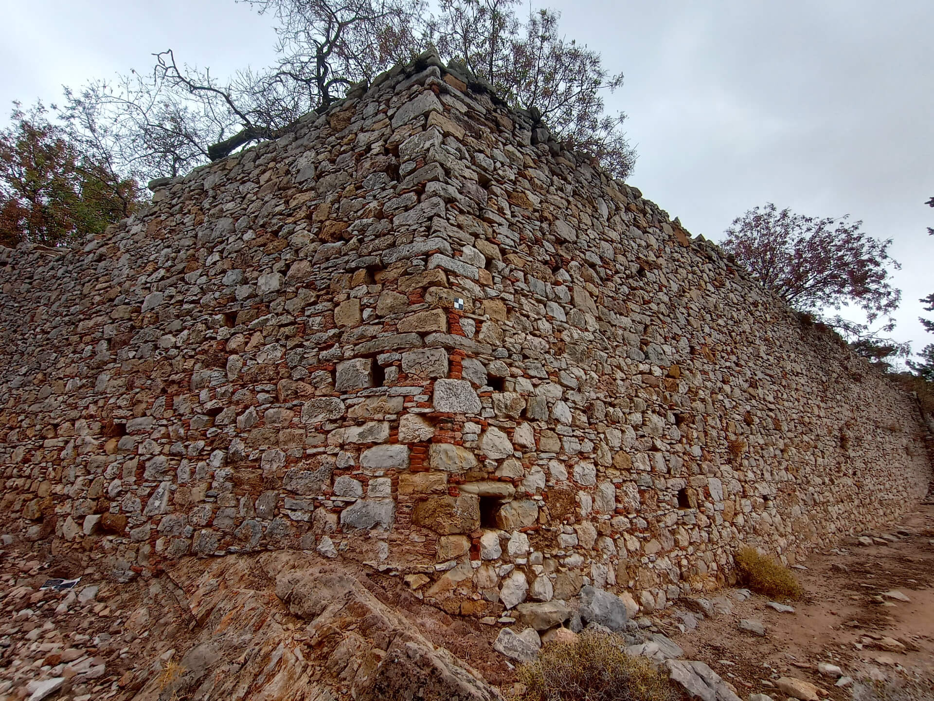
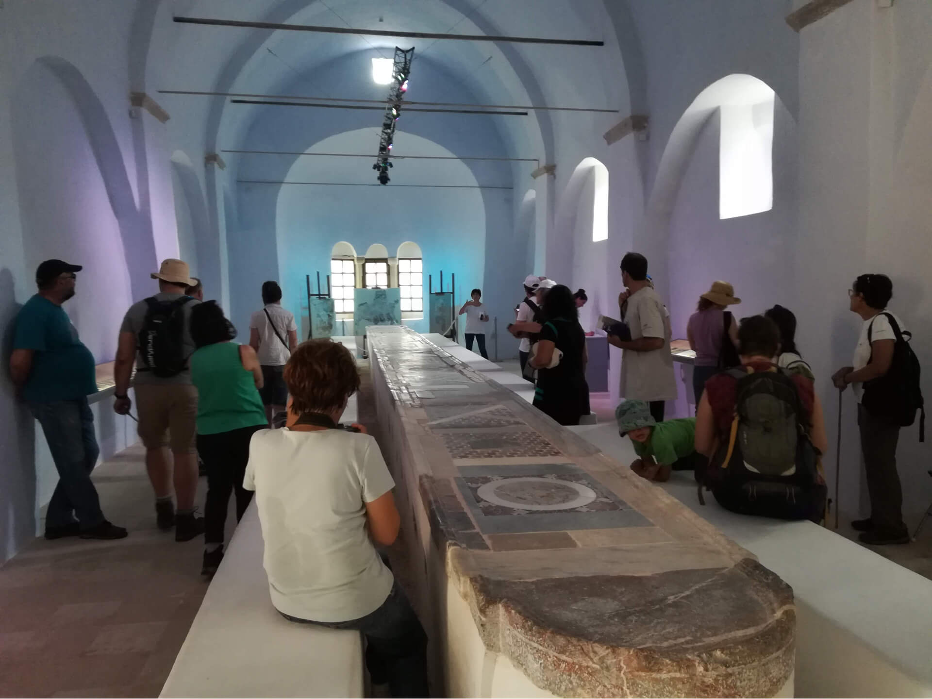
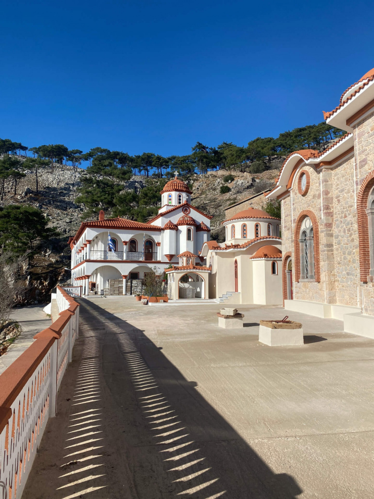
An easy circular hiking route that unfolds within the beautiful agro-forested landscape of the Nea Moni valley, an area of notable geophysical as well as historical and religious interest. Nea Moni of Chios is a Byzantine monastery inscribed on the UNESCO World Heritage List for its exceptional mosaics. It lies in central Chios, on the slopes of Mount Provateio, set within a relatively enclosed valley surrounded by terraced hillsides and rocky elevations, with only a small opening toward the east.
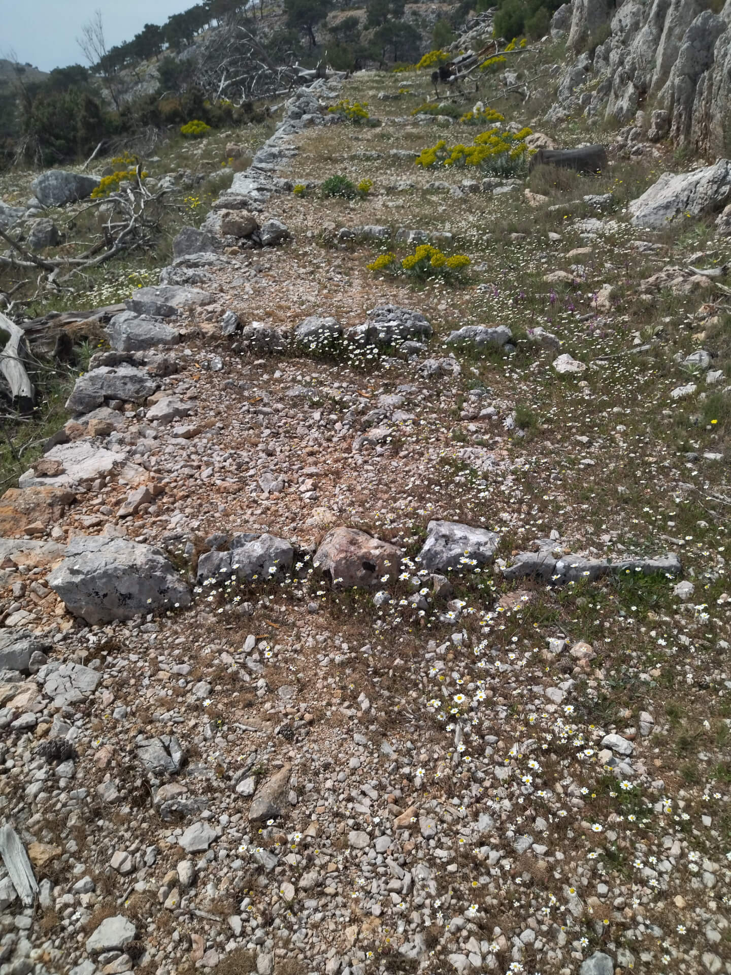
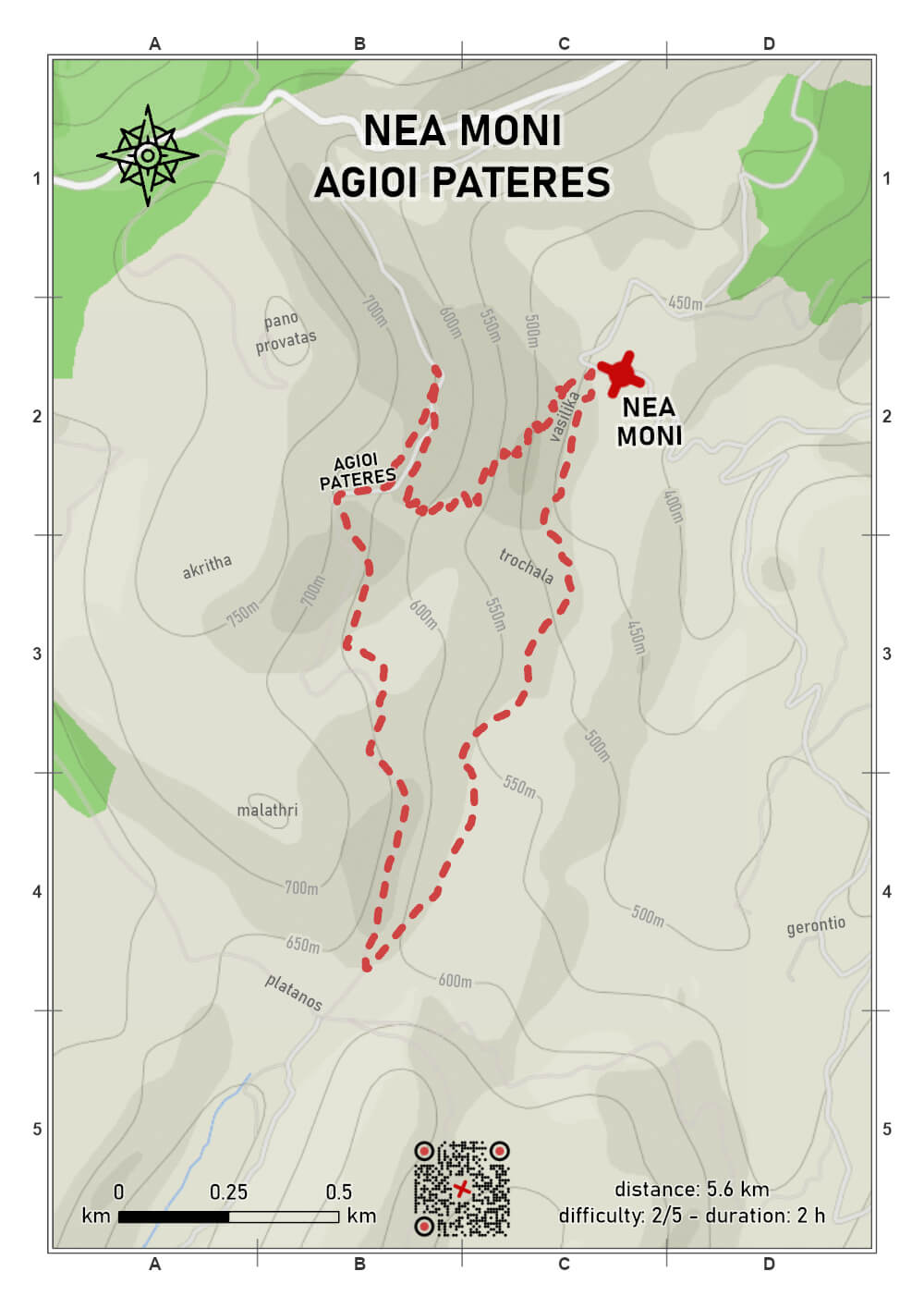
The route begins at the monastic complex of Nea Moni and follows an impressive, wide, stone-built path. The trail climbs gently in successive zigzags toward the Skete of the Agioi Peteres, continuously offering beautiful views over the valley, the surrounding slopes, and the uplands of central Chios.
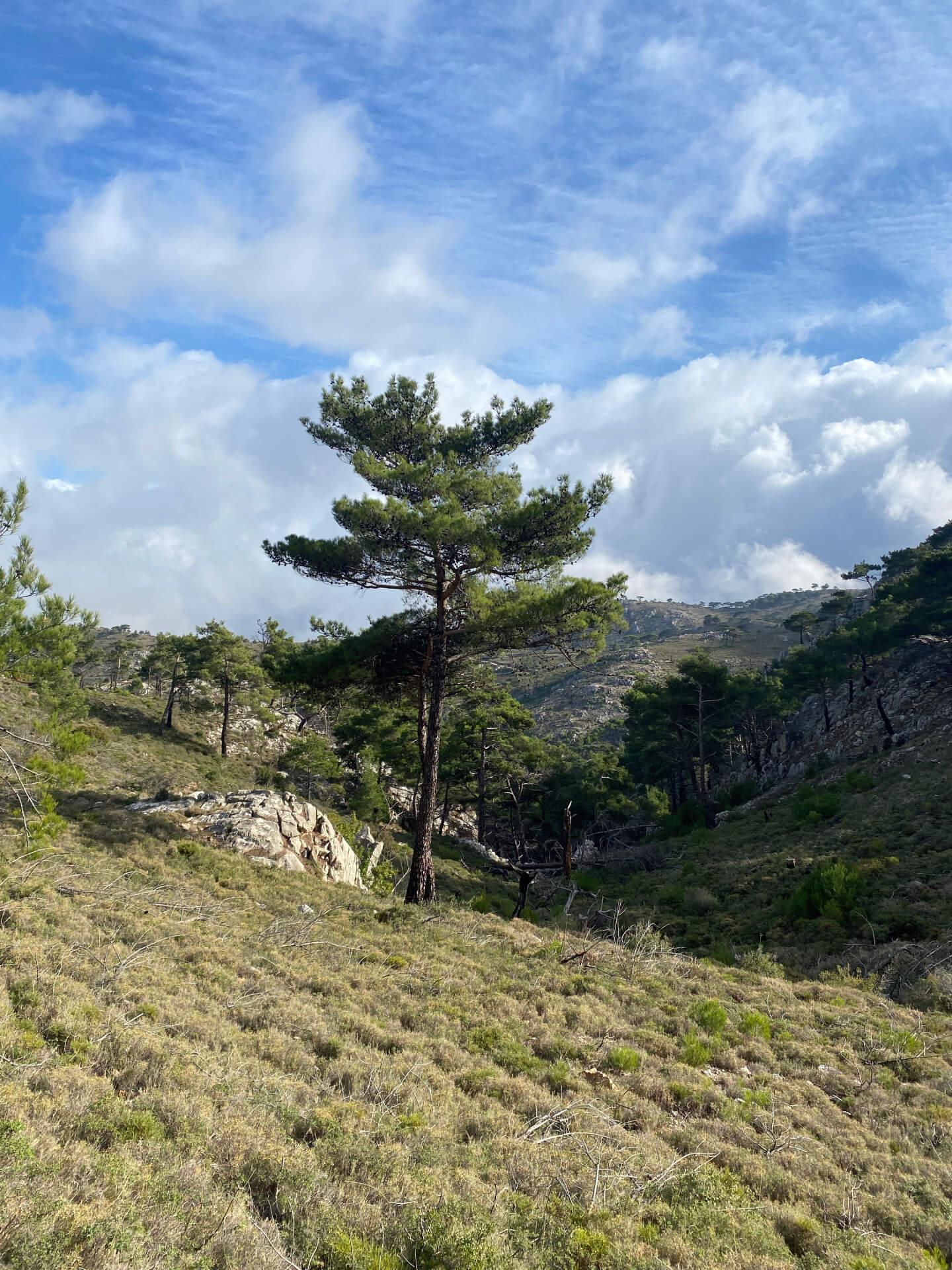
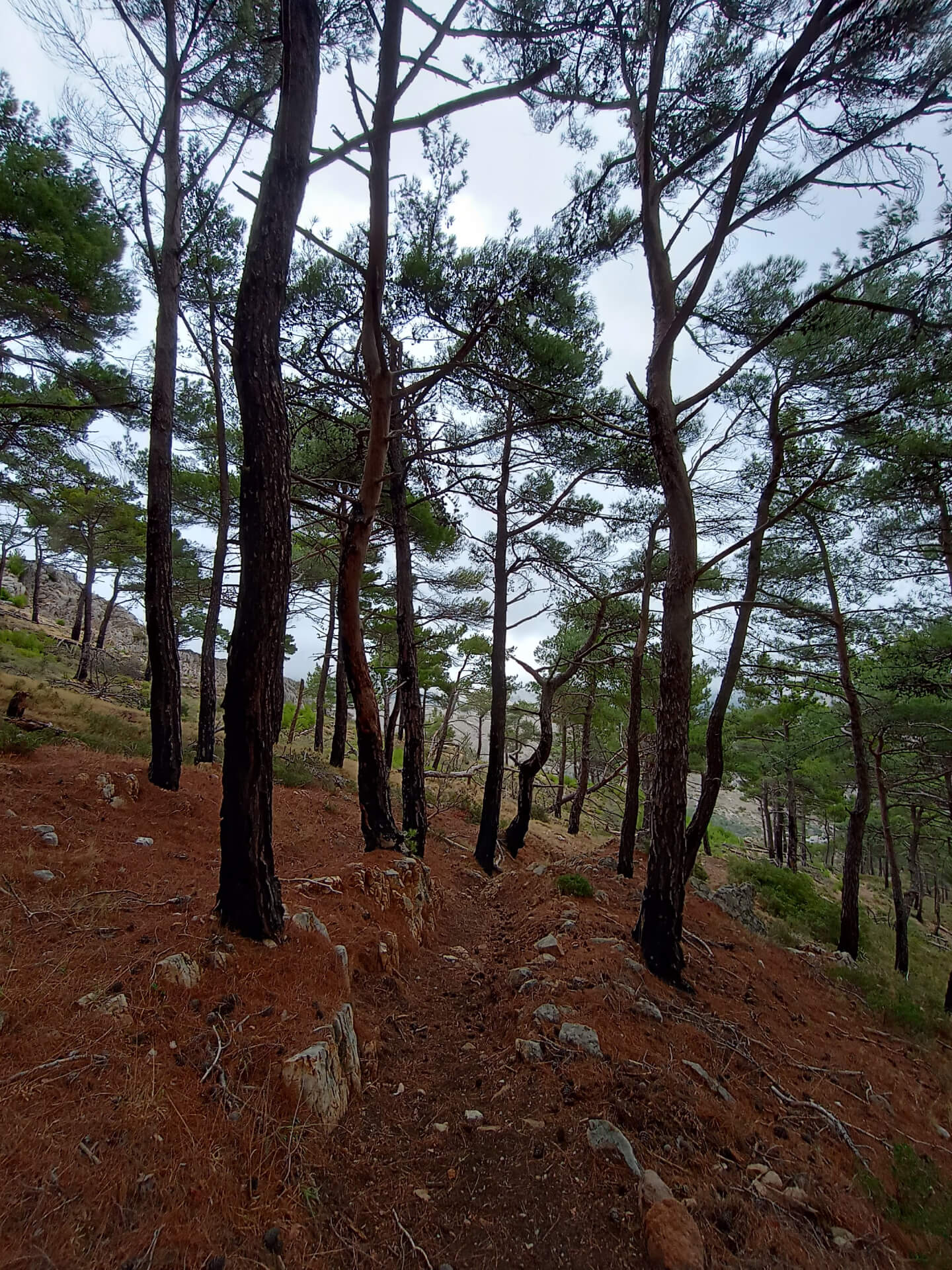
The route then continues south toward the area known as Platanos, following another old monastic path and a short section of dirt road. From there it crosses the forested area of Trochala, where nature is gradually regenerating after the wildfires of recent years, while also passing through the so-called “Vasilika” estates before eventually returning to Nea Moni.
This is a short yet particularly pleasant route that combines the historic atmosphere of this important monastery with a tranquil natural setting. Views over the valley, the old monastic paths, and the gradual transition between cultivated and forest landscapes create a hiking experience rich in impressions of the natural and cultural landscape of central Chios.
Last update February 26, 2025
NEED SOME HELP?
Download the route track to your phone in GPX or KML format, grab the static map in PDF,
gather your company, and set off for Nea Moni.



⚠︎ THE INFORMATION REFLECTS THE CONDITION OF THE ROUTES AT THE TIME THEY WERE RECORDED ⚠︎
However, trails are dynamic and may change over time. If you notice anything that you believe needs correction or updating, please write to us using the contact form. In the subject line of your message, include the name of the route, and in the body, describe the issue you would like us to take into account. Your help is greatly appreciated in keeping trail information accurate and up to date.