
PROFITIS ILIAS' TRAIL
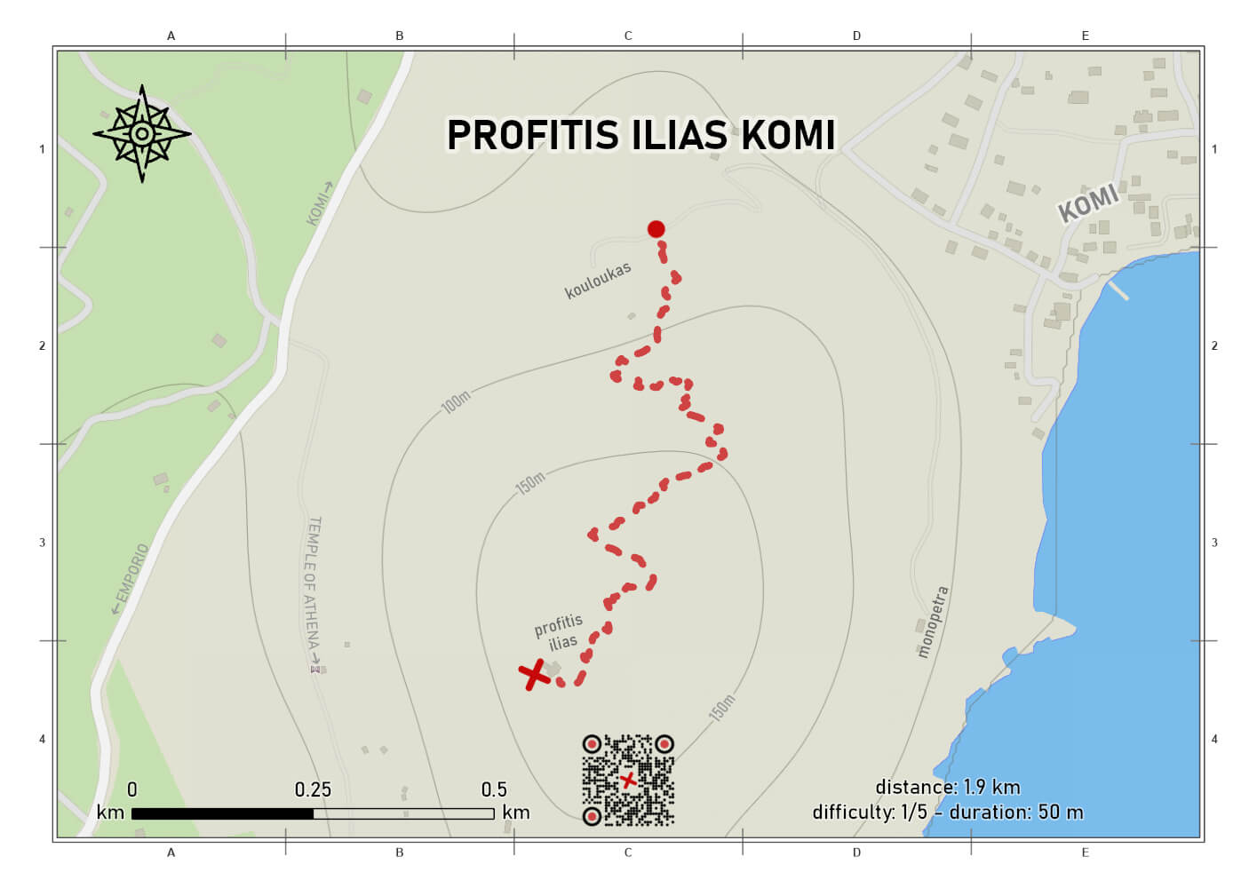
difficulty 1/5
distance 1.9 km
ascent 158 m
descent 158 m
duration 00:50
out and back
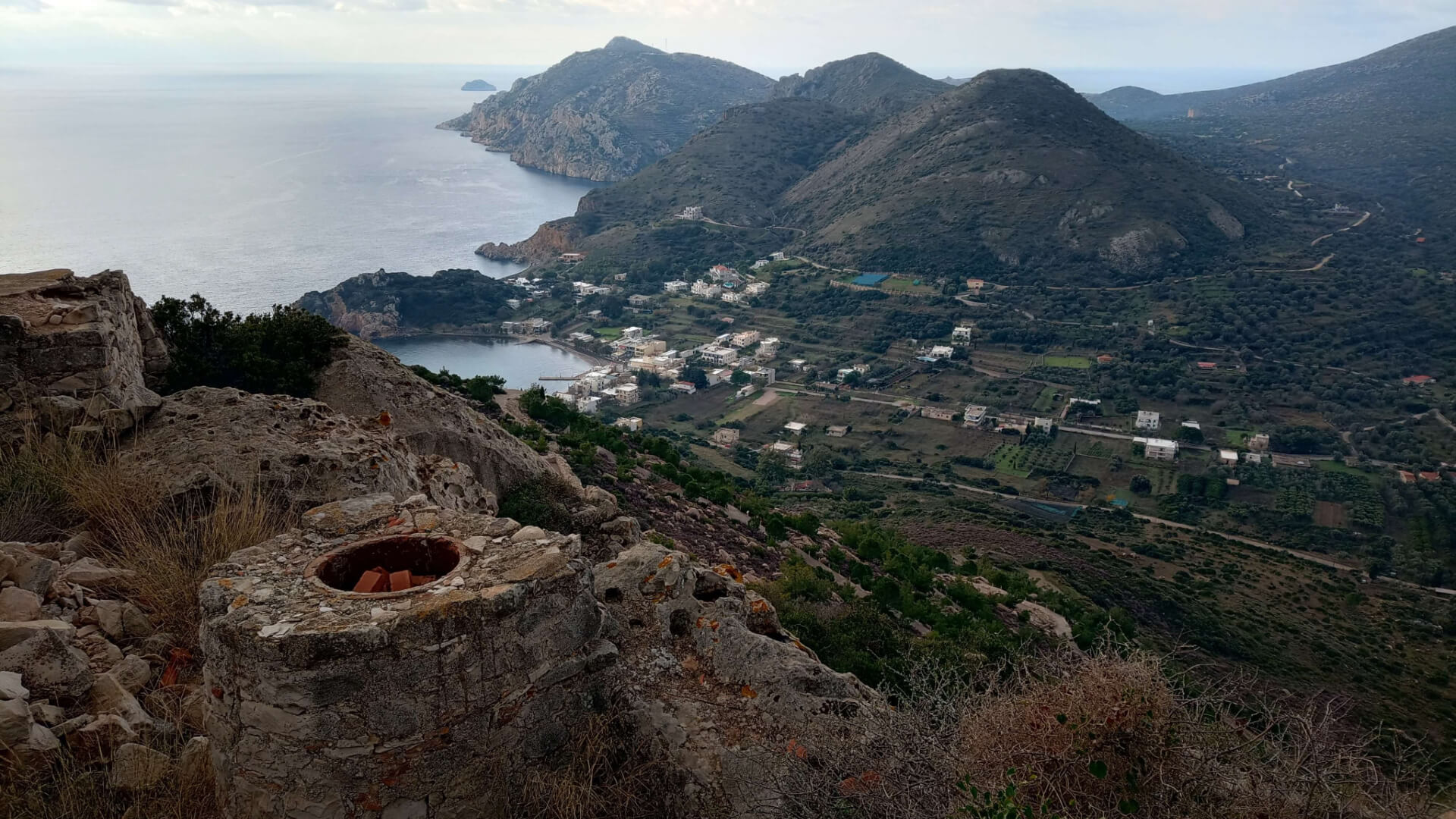
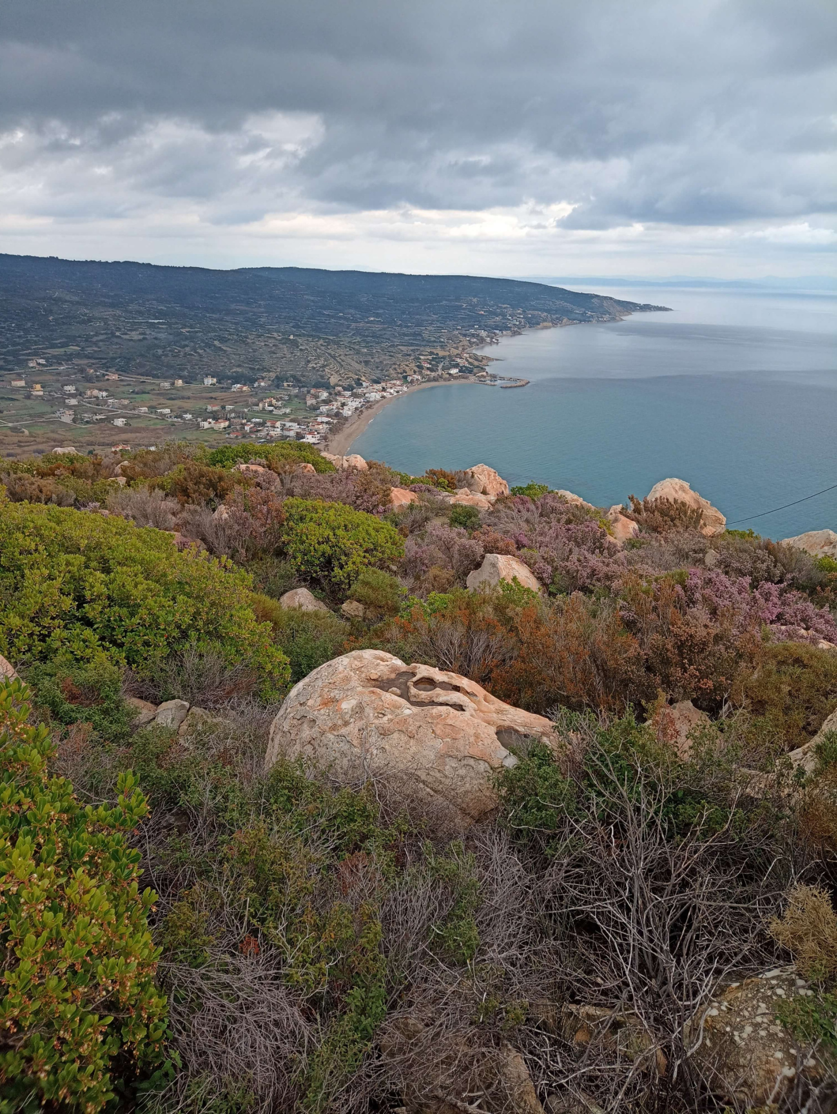
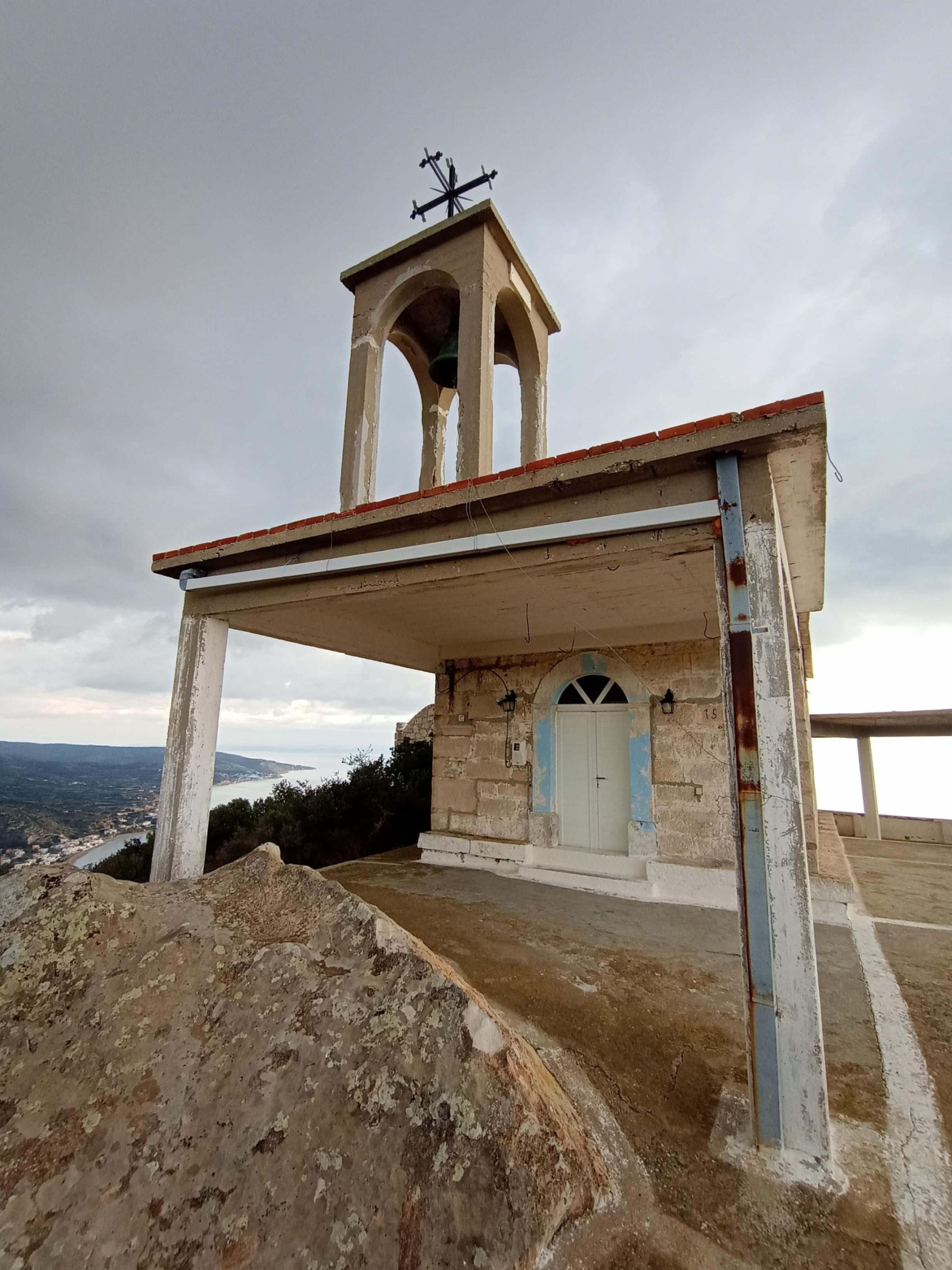
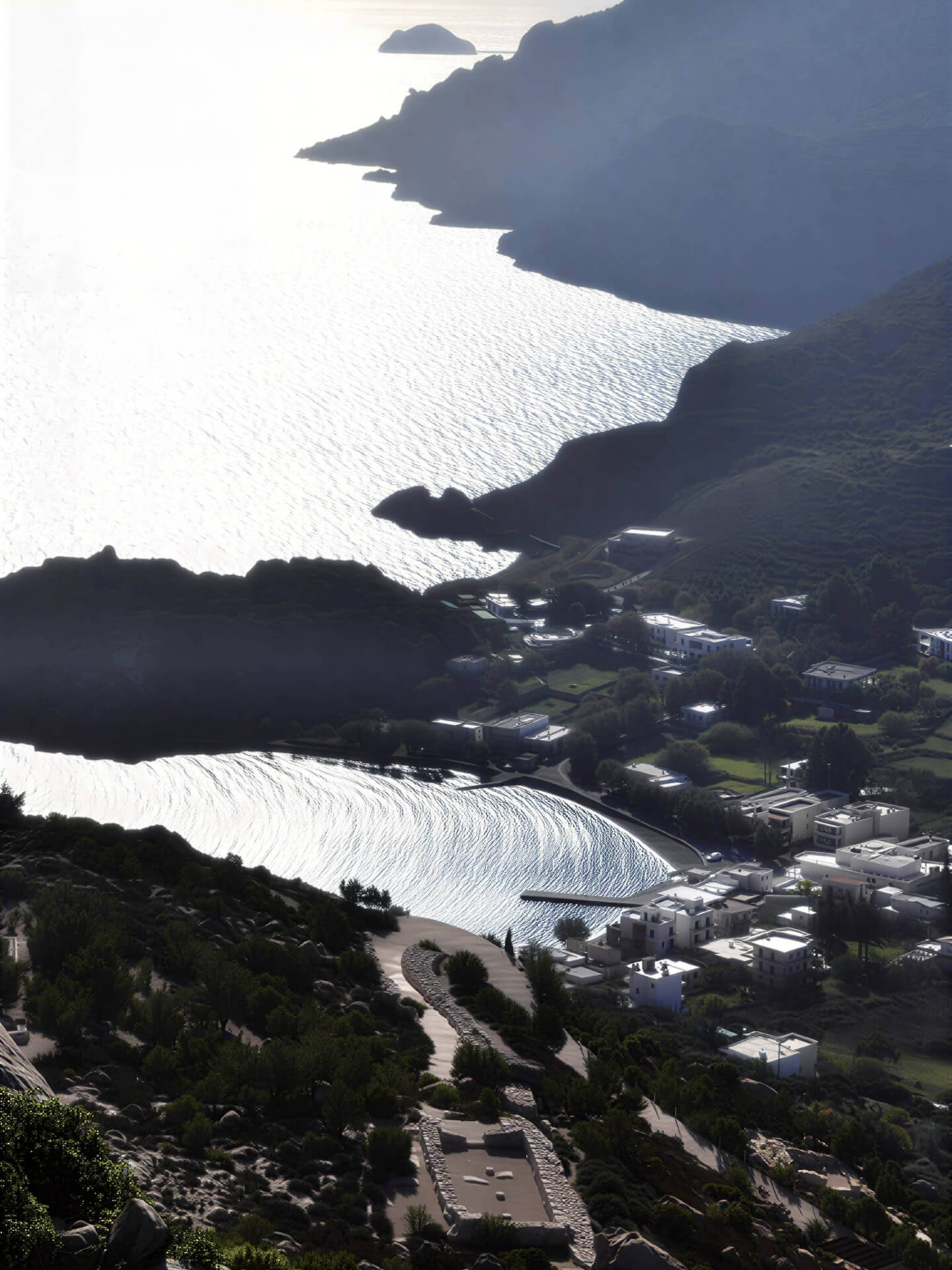
A short yet beautiful route on the lush hillside of Profitis Ilias above Komi. The trail is clearly defined and maintained in good condition, ascending in successive zigzags toward the summit, where an open panoramic view awaits. To the west stretch countless fields of mastic trees and olive groves; to the north, the same mosaic of cultivations unfolds, with the seaside settlement of Komi in the distance; to the east, the blue of the Aegean; and to the south, the archaeological site and harbor of Emporios, with Psaronas, Cape Oura, and the rocky islet of Venetiko forming the backdrop.
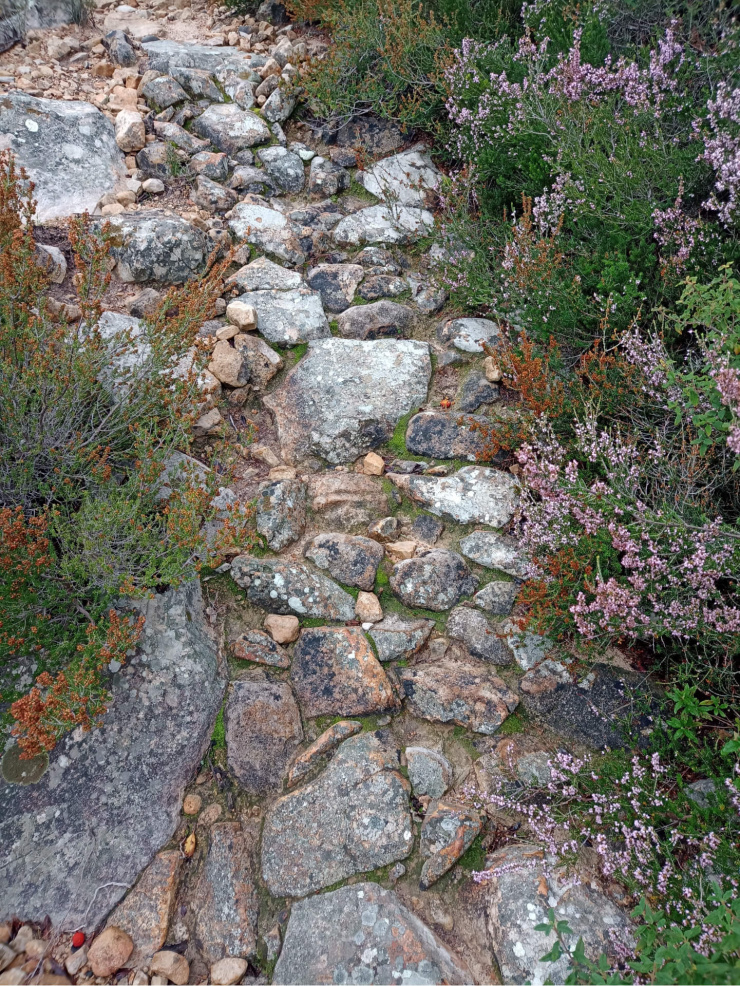
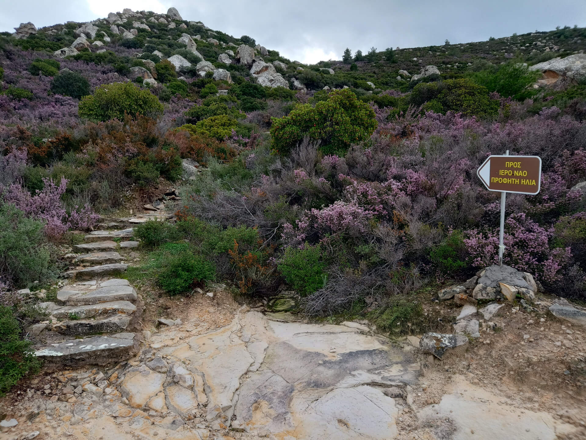
We leave the concrete road that connects Komi with the old Kalamoti stone quarry and enter the trail, which initially features stone-built steps facilitating the ascent. Thereafter, and all the way to the top, we walk alternately over rocky and earthen ground, while in certain sections remnants of cobbled paving are preserved. The route is short yet steadily uphill, gradually revealing ever-wider horizons and a sense of the landscape unfolding step by step.
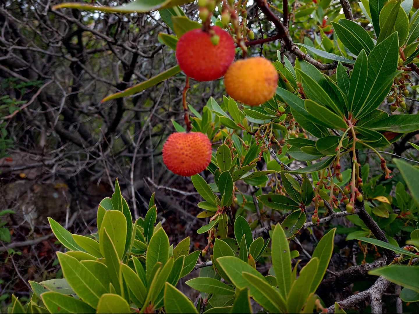
The area is of geological interest, as volcanic rocks and scattered monoliths define the character of the hillside, bearing witness to the former volcanic activity of southeastern Chios. The rock formations, shaped by time and weather, coexist harmoniously with the Mediterranean vegetation. Around us, strawberry trees, rockroses, heather, mastic shrubs, and kermes oaks frame the path, while the hum of bumblebees and the song of blackbirds gently accompany our steps.
The ascent may prove slightly demanding for those not accustomed to hiking; however, due to the route’s short length, it can be completed comfortably, even with one or two brief pauses to catch one’s breath. Caution is mainly required on the descent; although less strenuous, it may be hazardous for those who walk carelessly or in haste.
Last update February 26, 2025
NEED SOME HELP?
Download the route track to your phone in GPX or KML format, grab the static map in PDF,
gather your company, and set off for Komi.



⚠︎ THE INFORMATION REFLECTS THE CONDITION OF THE ROUTES AT THE TIME THEY WERE RECORDED ⚠︎
However, trails are dynamic and may change over time. If you notice anything that you believe needs correction or updating, please write to us using the contact form. In the subject line of your message, include the name of the route, and in the body, describe the issue you would like us to take into account. Your help is greatly appreciated in keeping trail information accurate and up to date.