
MOUNT PENTHODOS
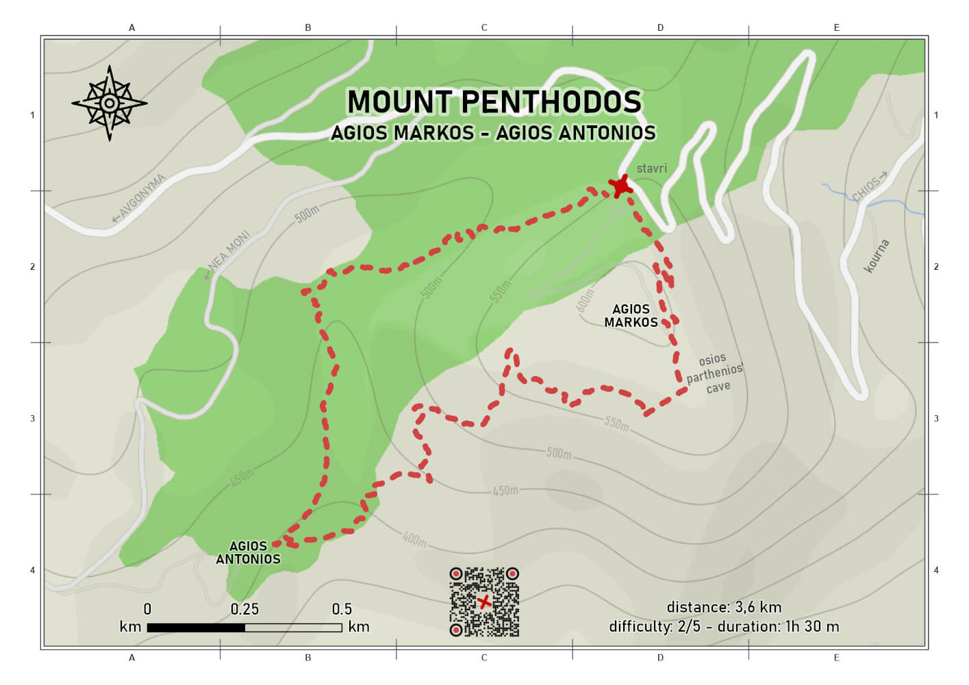
difficulty 2/5
distance 3.6 km
ascent 230 m
descent 230 m
duration 1h 30m
circular
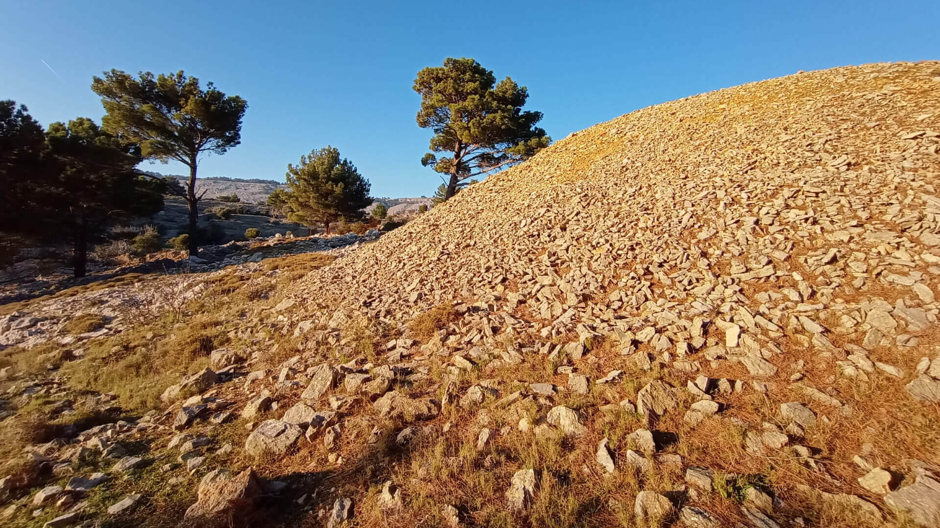
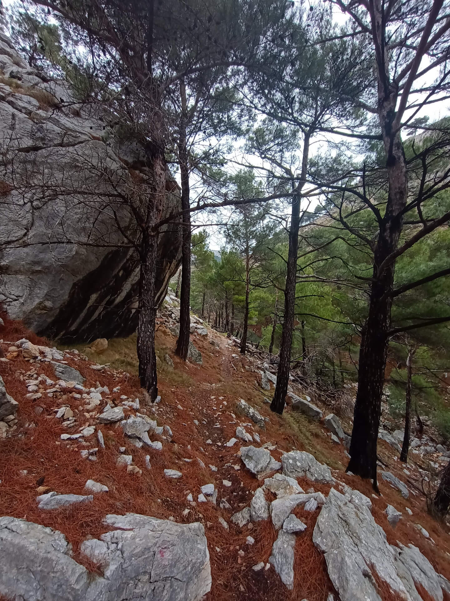
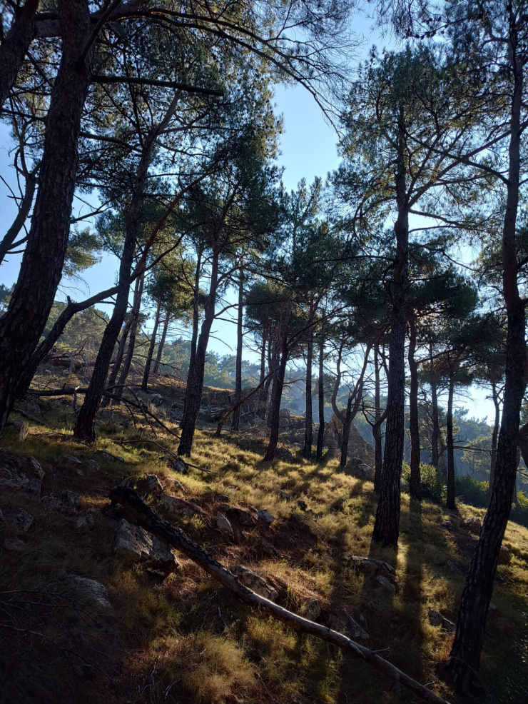
A short yet particularly enjoyable circular hiking route on Mount Penthodos in central Chios, just 10 km from the island’s main town. The route combines natural beauty, fine views, and strong historical and religious interest. For almost its entire length it runs through pine forest, following old paths once used by the monks of Nea Moni of Chios and the surrounding churches as they travelled to hermitages and small chapels in the area.
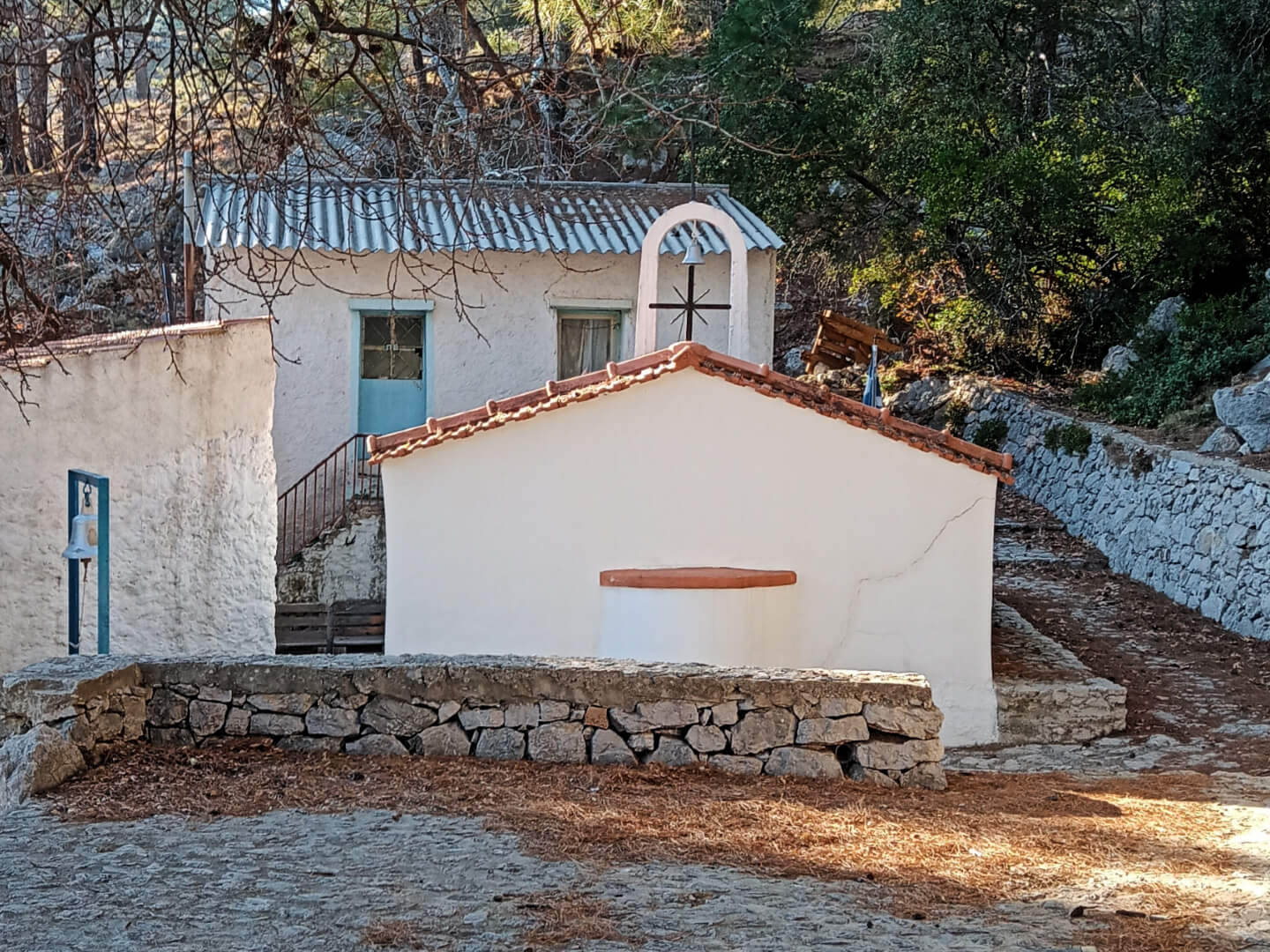
The starting point of the route is the location known as Stavri, at the saddle between the mountains Tsikoudia and Penthodos. From there, a trail — initially narrow and later widening into a stone-built cobbled path — climbs toward the summit of the mountain and the Monastery of Agios Markos of Penthodos, built in a naturally fortified position.
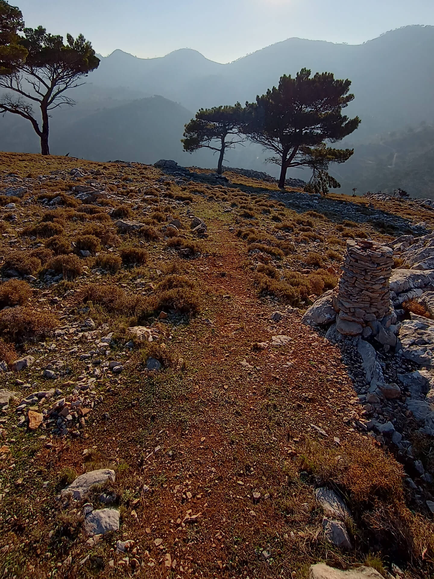
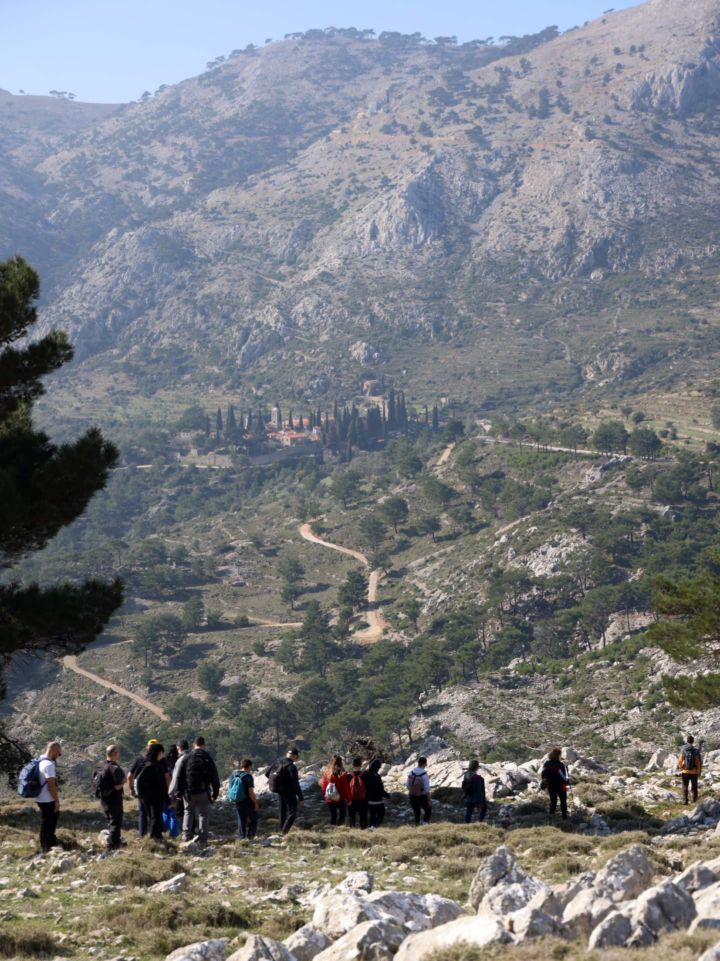
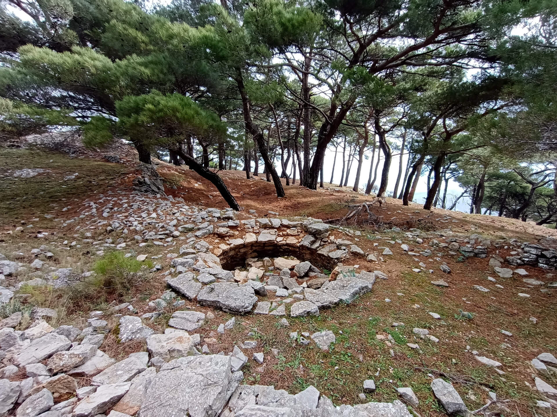
The route then continues near the ridgeline with views toward the eastern coast of Chios and passes beside the cave hermitage of the Hermitage of Agios Parthenios. In this section the path crosses the site of the Byzantine acropolis of Penthodos, where remains of towers and buildings can still be seen, along with jar-shaped cavities used for collecting water and various dry-stone constructions. The trail then descends with views toward Nea Moni of Chios and the surrounding hills of central Chios, passes the chapel of Agios Antonios of Penthodos, follows the nearby stream of the same name, and eventually returns to the starting point at Stavri.
Although relatively short, the route offers a remarkably condensed experience of the landscape and history of central Chios, where the pine forest, traces of old fortifications, and hermitages form a setting deeply connected to the area’s long-standing monastic tradition.
Last update February 26, 2025
NEED SOME HELP?
Download the route track to your phone in GPX or KML format, grab the static map in PDF,
gather your company, and set off for Penthodos.



⚠︎ THE INFORMATION REFLECTS THE CONDITION OF THE ROUTES AT THE TIME THEY WERE RECORDED ⚠︎
However, trails are dynamic and may change over time. If you notice anything that you believe needs correction or updating, please write to us using the contact form. In the subject line of your message, include the name of the route, and in the body, describe the issue you would like us to take into account. Your help is greatly appreciated in keeping trail information accurate and up to date.